-
091-5703371
-
Visit Us:
CIV Tech Associates
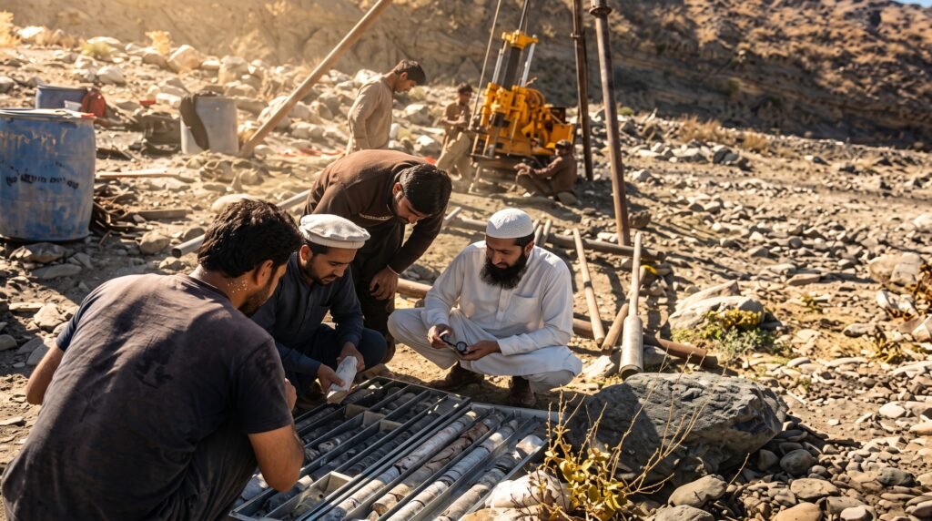
Geotechnical and hydrological studies determine how a structure will interact with the ground and water systems around it — soil bearing capacity, seismic risk, flood behaviour, and sediment transport all shape design decisions long before a structural drawing is produced. CIV Tech Associates has carried out this work for irrigation dams, run-of-river hydropower schemes, national highways, and multi-storey buildings, drawing on decades of field data collected across Khyber Pakhtunkhwa's most challenging terrain.
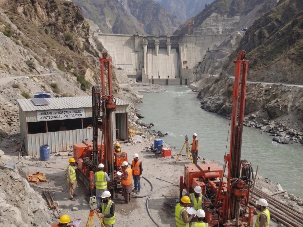
On dam and hydropower assignments in particular, our teams have delivered full hydrological and seismic assessments — including catchment analysis, sediment yield studies, and geological mapping — for schemes such as the Sheen Kach and Shakai dams, and the Laspur Murigram and Arkari Gol hydropower feasibility studies, working alongside international geotechnical and hydrological specialists.
Geotechnical site investigation and soil testing
Hydrological modeling and flood/sediment analysis
Seismic hazard assessment for high-risk zones
Catchment and watershed studies
Groundwater investigation
Slope stability and foundation studies
Sediment yield and reservoir sedimentation studies
Field data collection: boreholes, geophysical and geological survey
Boreholes, test pits, and geophysical survey establish subsurface soil and rock conditions.
Soil and rock samples are tested for bearing capacity, permeability, and shear strength.
Catchment, sediment, and seismic data are modeled to predict site behaviour under load and flow conditions.
Findings are consolidated into a technical report with design parameters and risk flags.
Foundation type, dam siting, and drainage recommendations are handed to the structural and hydraulic design teams.
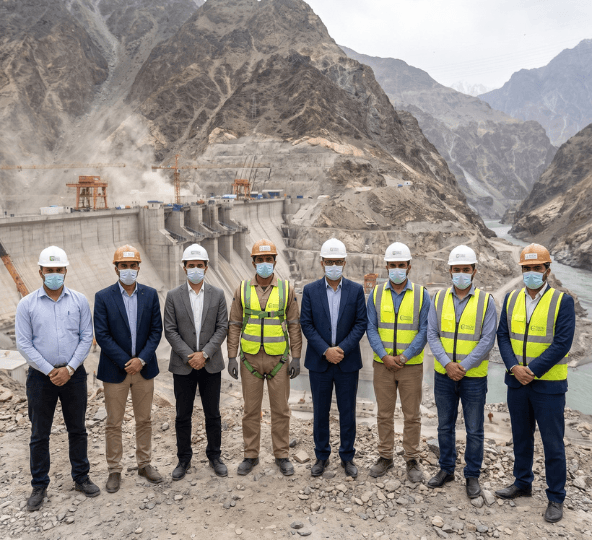

Engr. Faisal Arbab, Chief Executive of CIV Tech Associates, is a professional civil engineer with extensive experience in engineering consultancy, project management and construction.
Since joining CIV Tech Associates in 1998, he has led assignments across hydropower, dams, housing and road projects, with expertise in contract management, procurement, project monitoring, risk assessment and client coordination.
His previous experience with NHA and international construction companies has further strengthened his expertise in highway construction, quality control and infrastructure development
Soil and rock conditions determine foundation type, structure loading limits, and long-term settlement risk. Skipping this step risks structural failure or costly redesign after construction begins.
It assesses catchment rainfall and runoff, flood peaks, sediment yield, and reservoir behaviour — data that directly shapes spillway sizing, dam height, and reservoir capacity.
Yes. Given KP's seismic activity, our geotechnical scope for dams, hydropower structures, and multi-storey buildings routinely includes seismic hazard assessment.
Soil investigation informs pavement design, embankment stability, and cross-drainage structure sizing — all of which we have applied on National Highway Authority maintenance and rehabilitation projects.
Yes — our geotechnical and hydrological work spans government clients such as WAPDA, PEDO, and the Irrigation Department, as well as housing authority and private developer assignments.